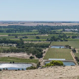
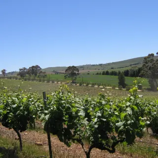
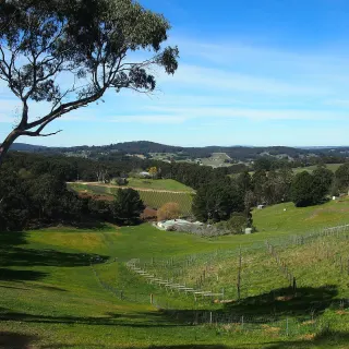
The Barossa's eastern gateway on the Sturt Highway - an 1848 township with a heritage walk, stone pubs and a walking-trail spur past an old copper mine.
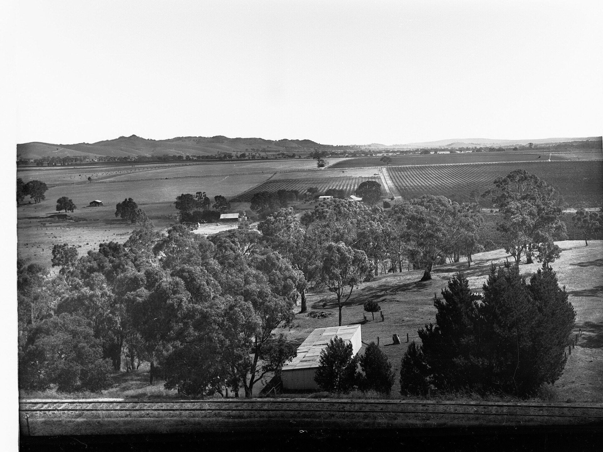
Truro sits where the Sturt Highway climbs out of the Murray flats and over Accommodation Hill into the Mount Lofty Ranges - the Barossa's eastern front door. The town was surveyed in 1848 and laid out by John Howard Angas on land his father, the colonising financier George Fife Angas, had bought in 1842, and it grew busiest in the late 1860s as traffic rolled through to the river ports.
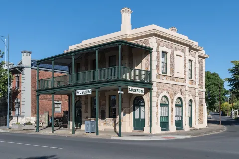
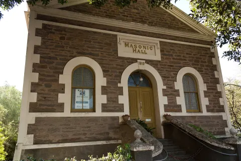
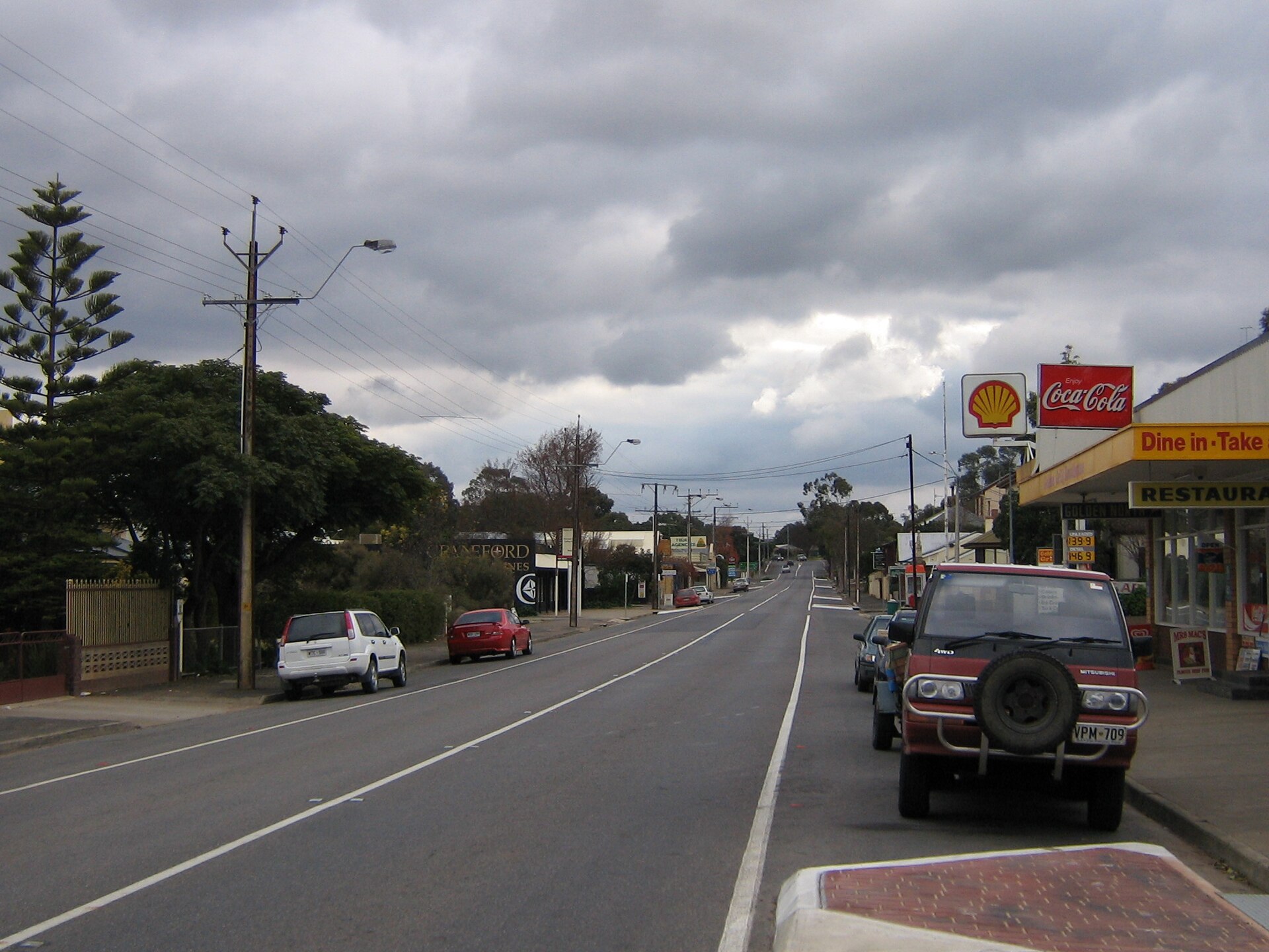
That working-road history still shows. The main street keeps its 19th-century stone shopfronts and hotels, and a signposted heritage town walk links the best of them. Unlike the German heartland villages further west, Truro's settlers were largely English, Irish and Scottish - a reminder that the Barossa's story has more than one accent.
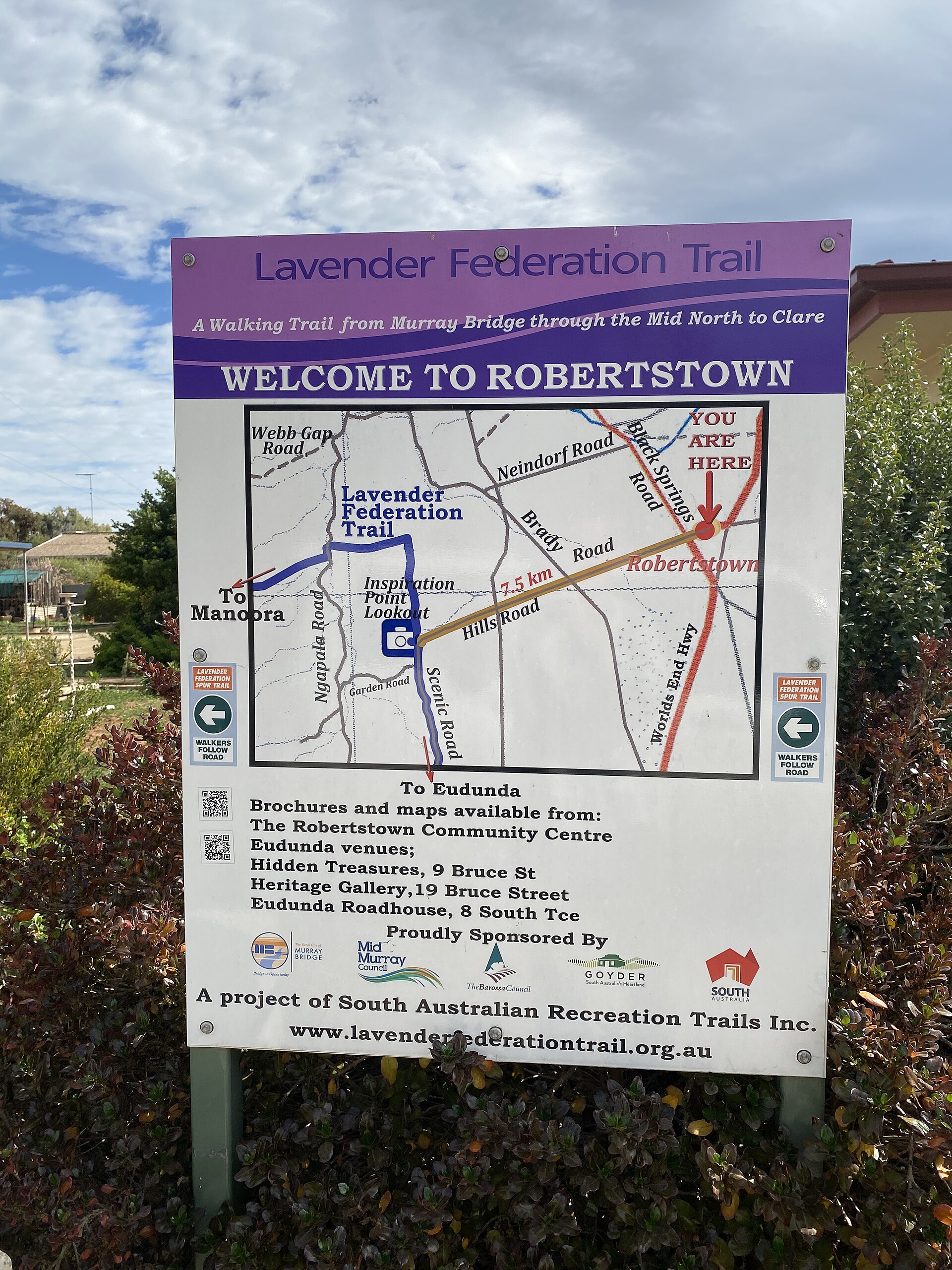
Walkers know Truro for something else: a spur of the Lavender Federation Trail drops into town past the district's old copper mine site. From here it's an easy run south-west into Stockwell and the valley floor, or north to the copper town of Kapunda.
Got a photo of Truro?
Share your best shot. If we use it in the gallery, you'll be credited by name. Photos are reviewed before going live.
Last verified 8 August 2026 · source: Wikipedia - Truro, South Australia
Within a short drive
Other spots in Stockwell
You might also like
Similar experiences across Barossa Valley

Sources
- Wikipedia - Truro, South Australia (accessed August 2026)
Image credits
- Truro Main Street.jpg by Scott Davis , CC BY 2.5 via Wikimedia Commons